Environment

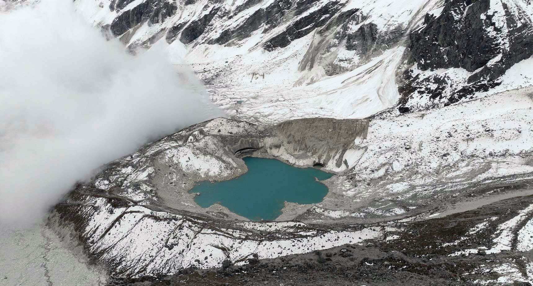
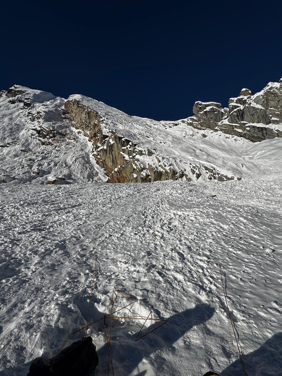
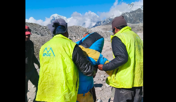
Everest region floods show growing risks from glacial lakes, ICIMOD study finds

Everest
Drone image captured on 17 October 2024 shows Rhindi Cho, with an ice cliff indicating that the lake was formed on the glacier surface, and an erosional scar on the end moraine caused by the flood impact. PHOTO: FOOTAGE FROM SPCC
By Tourism Times
Published at : 14 Oct 2025, 3:25 PM

KATHMANDU: The Everest region’s breathtaking landscapes hide an increasing threat: glacial lake outburst floods (GLOFs). A new ICIMOD study on the 2024 Thame flood shows how a rock avalanche triggered a catastrophic chain reaction, devastating the iconic trekking village of Thame and sending debris hundreds of kilometers downstream.

The August 16, 2024, flood began when a massive rockfall struck a high-altitude lake at 4,900 meters, releasing 156,000 cubic meters of water. The surge then breached a second glacial lake, sending another 303,000 cubic meters downstream. The flood carried boulders, damaged infrastructure, and swept through the half-kilometer-wide Thame valley, destroying homes, a school, a health post, and a bridge.

Fortunately, no lives were lost, thanks to the phased flow and daylight occurrence, though 135 people were displaced. Experts describe the event as a devastating yet instructive example of how glaciers, geology, and human settlements intersect in high-altitude Nepal.

ICIMOD scientists note that the Everest region has experienced five major GLOFs in less than 50 years, and the Hindu Kush Himalayas now host 25,000 glacial lakes. Rising temperatures are fueling these hazards, underscoring the urgent need for proactive monitoring, bank protection measures, and long-term risk management plans.

“The mountains are speaking,” says ICIMOD Cryosphere Analyst Tenzing Chogyal Sherpa. “Thame reminds us that mountain communities already bear the brunt of climate-induced disasters. Investing in resilience and understanding these risks is no longer optional.”

The study, launched on International Disaster Risk Reduction Day, involved the Nepal NDRRMA, Asian Development Bank, BGC Engineering, and local partners including the Sagarmatha Pollution Control Committee, combining satellite imagery, drone footage, and field surveys. 

Tags: #Environment

Comment